
Walk a Forsyth County Street
Begin with the Forsyth County QPublic search. It converts an ordinary address into a parcel, legal description, and indexed owner spelling. Address mode accepts one location or a numbered range, using a format like 1200-1299 Main. Leave off units and directional punctuation first. Exact mode is useful only after the broad result is clear.
Each step answers a separate question. No single search lists every person at an address.
- Open each parcel card and save the parcel ID, situs, owner spelling, mailing address, legal description, and sale clues.
- Locate the parcel in county GIS. Click nearby lots and note corner parcels or gaps hidden by a text list.
- Search the owner as grantee in the Clerk's deed index. Match the legal description before accepting a transfer.
- Use a lawfully ordered voter list when resident evidence is needed. My Voter Page is only for a voter's own details.
- Ask local repositories whether a reverse directory exists for the exact year. Never assume a run exists.
This workflow makes the street directory useful for land history, genealogy, and neighborhood curiosity without turning a tax owner into an assumed household.
Forsyth Street Search Fields
QPublic exposes four distinct modes. Address is the main by-street tool. Parcel and legal searches rescue cases where a road name changed. Owner mode moves from a known party back to land.
| Control | Input | Street use | Limit |
|---|---|---|---|
| Owner Name | Name and exact toggle | Find a person, trust, estate, or entity | Name alone is not identity proof |
| Location Address | One address or number range | Browse taxable parcels by street | Not an occupant roll |
| Parcel Number | Displayed ID | Reopen exact land | Copy spacing as shown |
| Legal Information | Subdivision, lot, or phrase | Bridge old and new addresses | Index wording varies |
A card can show owner, mailing and physical addresses, acreage, tax district, values, homestead indicator, sales, improvements, sketches, photos, and a map link. Not every field appears on every parcel.
- Parcel
- A mapped unit of land with a county identifier.
- Situs address
- The property's physical location, unlike its tax mailing address.
- Plat
- A recorded map of lots, roads, dimensions, and easements.
- Criss-cross directory
- A historical directory arranged by address instead of only by name.
Forsyth Records Indexed by Address
A useful Forsyth County street directory joins records that share a parcel, street, or legal description. Some are free online. Older books and closed files require a counter visit or narrow request.
| Source | Keeper | What it establishes | Access |
|---|---|---|---|
| Parcel card | Board of Assessors | Title name, situs, mailing, values | QPublic or counter |
| GIS parcel | GIS & Mapping | Shape, adjacency, ID, districts | Interactive applications |
| Deed or plat | Superior Court Clerk | Transfer parties and legal land | Resolution, counter, books |
| Permit | Building & Licensing | Work, applicant, contractor, dates | CSS, reports, layer, request |
| Voter list | Georgia SOS | Registered name and residence | Official order with restrictions |
| Reverse directory | Repository, if held | Published occupant for one year | Confirm exact holdings |
The assessor is at 110 E. Main Street, Suite 260, Cumming, and answers 770-781-2106. It values property and maintains assessment records. The Tax Commissioner, a separate office, collects tax.
Map Forsyth Streets and Parcels
The Forsyth GIS applications help locate the subject, enable parcel outlines, and click each polygon. Save the parcel ID before panning. Clicking nearby land is safer than assuming an address range includes every corner or newly divided lot.
GIS shows road form, adjacency, districts, zoning, and map layers. It cannot certify a boundary or say that an owner occupies the land. The county treats boundaries as representations, so a licensed surveyor is required for a legal line. Use the map as an index to QPublic and recorded plats.
Note: Compare every address list against the parcel map because corner lots and new divisions may look missing.
Turn Forsyth Addresses Into Plats
A modern street number is only one label for land. QPublic supplies the parcel ID and indexed legal description, while a recorded plat connects the parcel to a subdivision, lot, block, road, dimensions, and easements. Copy those terms exactly. They are the best bridge when an address search misses a rural tract, a corner lot has been assigned to another road, or a new subdivision street did not exist in an older deed.
Forsyth's online pre-standard plat index begins January 1, 1961, and the standardized plat division begins January 1, 2004. The date split describes the index system, not the age of every road. Search the Clerk's Resolution portal with the parcel card's subdivision or legal wording, then compare the indexed plat to the polygon in county GIS. The Clerk routes the recorded document. GIS provides a useful picture, but it does not replace the recorded plat or a licensed survey.
The practical flow is short: street address to parcel ID, parcel ID to legal description, legal description to plat, and plat to the deed chain. This process also keeps a by-address search tied to the same land when a road label changes.
Forsyth Mailing and Situs Clues
A matching owner mailing address and situs can support an owner-occupancy inference, especially with a homestead indicator. It still cannot identify the full household. A different mailing address only tells where the tax notice goes. Trusts, estates, companies, joint owners, and care-of names also appear.
Cumming is the county's only incorporated city, yet its postal name covers broad unincorporated land. Southern and eastern county addresses may say Alpharetta, Suwanee, or Duluth. Postal city does not pick the records office. Confirm county, district, and city jurisdiction through the parcel and GIS.
Key distinction. Postal city routes mail, situs locates the land, and its legal description survives changes in road labels.
Trace Forsyth Owners by Street
Deeds are indexed by party, not usually by street. QPublic supplies the current name and legal description. Search that owner as grantee in Resolution eSearch, narrow by sale date, then match the recorded land. Its Same Instrument control identifies co-parties without guessing relationships.
Online land indexing begins January 2, 1980. The state division begins January 1, 1998; plats reach 1961; liens reach 1991; trade names reach 2005. Check the live coverage page for changing current-through dates. Earlier work continues through Clerk general indexes and deed books, plus Georgia Archives microfilm. The web cutoff is never the end of the chain.
Search Forsyth Deeds Precisely
The Clerk's index works best after QPublic has supplied a title name. Enter the surname or firm name first. The form allows as many as two given names, a middle name, title, party role, date range, index family, group, and document type. Starting with every field can hide a deed because initials, suffixes, trusts, estates, and entity names are indexed as the document presents them. Broaden first, then narrow by the acquisition date and instrument type.
Choose the grantee role to find how the current owner acquired the parcel. After locating that deed, read its grantor and search that party as a grantee in an earlier period. The Same Instrument control is useful for finding co-parties to one recorded document. It does not prove a family or household tie. Match the book and page or instrument number, recording date, and legal description before connecting any result to the street.
A typical index result gives party names and roles, document type, recording information, and an instrument or book-and-page key. Use that key when asking the Clerk for an image or certified copy. Guest index access is visible online, while older books and general indexes remain a counter route. Georgia Archives county cards can point to early microfilm, including a whole volume that began before 1900 and continued later.
Permits Along Forsyth Streets
The county Customer Self Service portal supports public searches by record number, address, parcel, and available module controls. Account functions cover applications, payments, and scheduling. A permit documents work, not occupancy.
The official CSS gateway shown in the manifest capture is the starting point for address and parcel searches.
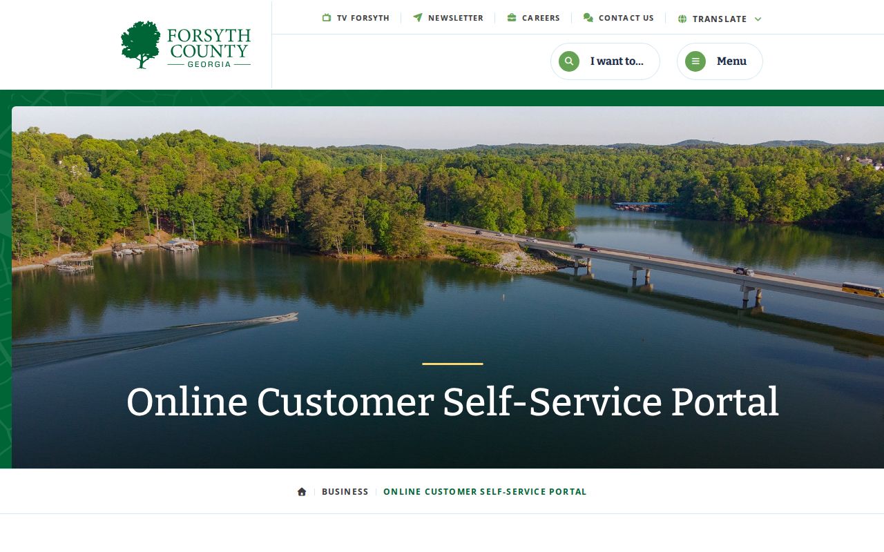
The interface connects a street or parcel with public permit records.
The EnerGov permit GIS service publishes its update schedule.
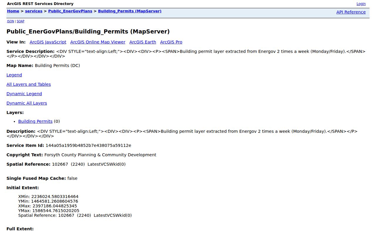
The layer refreshes Monday and Friday. Monthly reports cover 2021 onward, while underlying records remain available by portal or request. A just-issued permit may not appear at once.
Search the portal before relying on a monthly report. The published reports cover 2021 forward, while the underlying system's full span is not stated in the research. Code cases may add property conditions and responsible parties, but active matters or complainant details can be withheld. In every case, issue dates, applicants, and contractors describe a project. They are not a list of people who live at the site.
Forsyth Voters by Street
My Voter Page asks first initial, last name, county, and date of birth for a voter's own record. It is not an arbitrary address search. The official voter-list order process instead delivers county or local data that may be sorted lawfully by residence street.
Public lists exclude telephone numbers, birth dates, Social Security numbers, and driver's-license numbers. VoteSafe hides qualifying protected voters. Georgia records no party registration, and participation history never shows ballot choices. Commercial use is a misdemeanor. Forsyth Elections at 1201 Sawnee Drive handles maps and questions at 770-781-2118.
Old Forsyth Roads and Routes
Forsyth formed in 1832, when deeds, tax books, courts, churches, and cemeteries mattered more than a dense municipal directory. Rural routes became subdivision streets, and farms became plats and commercial corridors. An early deed may have no modern street number.
Bridge the eras with lot, block, subdivision, parcel, plat, and metes-and-bounds wording. Georgia Archives county cards identify early surviving volumes. A whole book may be filmed when it began before 1900 and ended later. No verified countywide renumbering year was found, so prove continuity parcel by parcel.
No official catalog confirmed a continuous Cumming reverse-directory run. Ask the library and Historical Society for exact telephone or cross-reference years. The Forsyth County city directory page explains those local holdings without importing Atlanta books or City of Forsyth material from Monroe County.
Limits of Forsyth Street Records
Property files identify titled owners, deeds name transfer parties, permits record work, and GIS draws land. They do not reveal renters, children, guests, or every family member. Driver addresses are protected, utility customer lists are not a public roll, and safety programs may suppress assessor or voter information.
Forsyth provides a specific removal request for safety-sensitive employees whose personal information appears in the Tax Assessor Property Search or Tax Commissioner Tax Payment Search. The form asks for the employee's work role, the tax-bill name, property address, work identification, and state identification. It may be submitted in person or to the assessor's published email. That verified process explains why a blank or limited result should not be treated as proof that no record exists.
Lawful use. Use Forsyth County street records for legitimate personal research, never to track, threaten, stalk, harass, or harm anyone.
Commercial compilations often merge old tax, voter, and marketing files. Verify property claims with QPublic, title with the Clerk, and geography with county GIS. Official records have limits, but each identifies its custodian and correction route. When the search shifts from a whole street to one known person, use the Forsyth County resident lookup and confirm identity through two independent records.