
Forsyth County Neighbors by Source
No official record provides a complete block roster. Forsyth County GIS establishes which parcels are near the starting lot. QPublic then shows each selected parcel's taxable owner, mailing address, physical address, and assessment details. Plats explain the subdivision layout, while a lawfully obtained voter list can show registered names at residence addresses. Community pages confirm public contacts and events, not private membership.
| Source | What It Shows About a Block | Access |
|---|---|---|
| GIS adjacent parcels | Nearby lot pattern, parcel IDs, districts | Free viewer; not a survey |
| Forsyth QPublic | Owner, mailing and situs addresses, homestead clue | Free; protected entries may be hidden |
| Subdivision plats | Lots, easements, and recorded street names | Clerk index, 1961 onward |
| Georgia voter list | Registered names and residence addresses | Purchased; protected voters omitted |
| Association public page | Boundaries, contacts, covenants, public events | Varies; member roster usually private |
| Permit records | Nearby work, dates, and public participants | CSS, map layer, reports, or request |
Ownership is not occupancy. A mailing address that matches the situs, plus a homestead indicator, can support owner occupancy, but it does not name all household members. A trust, estate, or company may hold title. Renters do not usually appear on the property card. Keep the conclusion as narrow as the record: a parcel owner, registered voter, permit participant, or public association contact.
Reading Forsyth Neighbor Parcels
The Forsyth QPublic portal accepts an owner name, location address, parcel number, or legal-information term. Once GIS supplies the adjacent parcel IDs, use parcel mode to avoid name collisions. A card may show the property ID, owners, mailing and physical addresses, acreage, tax district, homestead indicator, values, legal description, sales, building details, photos, and a map link.
- Situs address
- The physical location of the parcel.
- Mailing address
- The destination for the owner's tax correspondence, which may be elsewhere.
- Parcel
- A mapped tax unit identified by a county number; it is not a household.
- Plat
- A recorded drawing that shows lots, roads, and easements in a subdivision.
Copy the displayed parcel ID exactly. Forsyth examples use spaced map-and-parcel forms such as 003 071, but the portal's own value controls. GIS boundaries are representations. A licensed surveyor, not the county viewer, certifies a property line.
Map a Forsyth Neighbors Block
The Forsyth County GIS applications provide the spatial link between one address and nearby lots. Set the scale so touching parcels and across-street lots can be seen. Selection and measure tools help define the chosen segment, but geometry alone says nothing about who occupies a home.
- Locate the starting address and turn on parcel outlines and address labels.
- Click the subject polygon and copy its parcel ID. Then click each touching, nearby, and across-street polygon one at a time.
- Open or search each ID in QPublic. Compare the owner mailing address with the physical address and note any homestead clue.
- Pan along the chosen block only as far as the research question needs. Keep corner lots and road geometry visible.
This produces a documented parcel set, not a guessed radius. For every parcel along an entire named road, switch to the Forsyth County street directory workflow and its address-range search.
Forsyth Neighborhood Names and Boundaries
Forsyth County has no verified countywide public directory of neighborhood associations or their members. Public names still help orient a block. Master-planned and subdivision communities include Vickery, Windermere, Polo Golf & Country Club, Three Chimneys, Aberdeen, and Olde Atlanta. Lake Lanier communities form another distinct eastern layer. Coal Mountain, Matt, Silver City, Chestatee, Big Creek, and Sharon Springs are place-based areas rather than one uniform association system.
| Public community source | What to confirm | What not to infer |
|---|---|---|
| Recorded plat and covenants | Subdivision name, lots, easements, restrictions | Current occupant or active membership |
| Association public page | Official contact, public events, stated boundaries | A private resident roster |
| County GIS and QPublic | Parcel and tax-district geography | Certified boundary or household composition |
| Archived newsletter or church history | Time-bounded historical names and events | Present participation |
Verify a claimed association through its recorded covenants and its own public contact page. Congregation, club, and watch rosters are usually private or voluntary. Historical church anniversary books and cemetery transcriptions are different because they document a stated past period.
Postal Cities Around Forsyth Neighbors
Many addresses labeled Cumming sit outside the incorporated city. Cumming is Forsyth County's only municipality, but its postal city covers broad unincorporated territory. County election locations also show Forsyth addresses using Suwanee and Alpharetta postal cities. A postal label therefore cannot decide which local office holds a permit, police report, or zoning record.
Use USPS for the delivery city and ZIP, then use Forsyth GIS for county and district geography. The eastern side near Lake Lanier differs from south Forsyth and older north-county communities. That local vocabulary can help with plats, newspapers, and association names when a Cumming search is too broad.
The captured Georgia business search can also test a public association or management entity name.
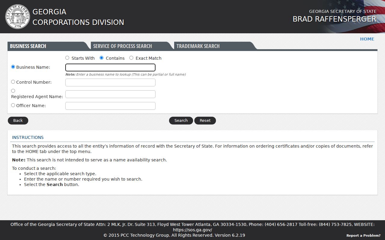
An entity file may confirm a legal name, status, registered agent, or office address, but it does not disclose the neighbors who belong to the group.
Forsyth Neighbors and Voter Lists
Georgia My Voter Page is a personal authentication tool, not a block browser. A public voter list ordered under O.C.G.A. sections 21-2-225 and 21-2-601 may include registered names and residence addresses, so a lawful user can sort a delivered file by street. Dates of birth, Social Security numbers, driver's-license numbers, and phone numbers are excluded. Commercial use is a misdemeanor.
VoteSafe protects qualifying voters exposed to family violence or stalking, and Georgia Safe at Home provides a substitute-address framework for eligible survivors. Nonvoters are absent as well. That means the voter layer can confirm some registered names but can never establish every person on a Forsyth County block.
Where personal safety calls for checking the official registry, use the Georgia Bureau of Investigation registry with care.
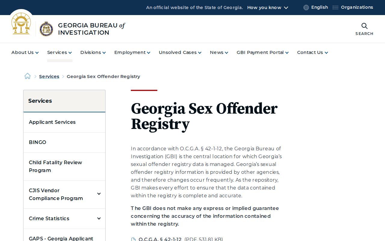
Registry information is a safety record, not proof of present conduct. Confirm identity and current status instead of spreading an unverified name match.
Official Forsyth Neighbor Records
Commercial neighbor tools often merge old property, voter, and marketing data. They may attach a prior owner to a current address, confuse relatives, or present a parcel mailing address as a home. Official sources are narrower, but each has a named custodian and a clear reason for the record.
| Source type | Strength | Main limit |
|---|---|---|
| County GIS and assessor | Current parcel geography and taxable owner | Does not list every occupant |
| Clerk plat or deed | Recorded lot and title evidence | Title is not daily residence |
| Public voter list | Statutory registered-voter address data | Protected voters and nonvoters absent |
| Commercial compilation | Fast aggregation | Stale links, mixed sources, weak correction trail |
Validate a commercial claim at the assessor, Clerk, elections office, or other custodian. A wrong source record should be corrected with that office first. Removing a compiled profile does not erase a lawful deed or parcel record.
Forsyth Block Records by Request
Not every nearby record has a public search. Forsyth's CSS can show permits, plans, inspections, and business-license information by address or parcel, while permit reports cover 2021 onward. The building-permit GIS layer is extracted from EnerGov twice weekly, on Monday and Friday. A fresh permit may therefore lag. It documents work at a property, not occupancy.
For an existing closed code case, permit file, plat, or other nonexempt record, submit a narrow Georgia Open Records Act request to the responsible custodian. Include the exact address, parcel, date range, and record type. The agency should produce within three business days when practical or provide a timetable, estimated cost, and exemption citation in that period. It does not have to create a block roster.
Vital records are a poor neighbor layer because access turns on the event and the requester's eligibility. The official Georgia vital-record fee schedule makes that separate process clear.
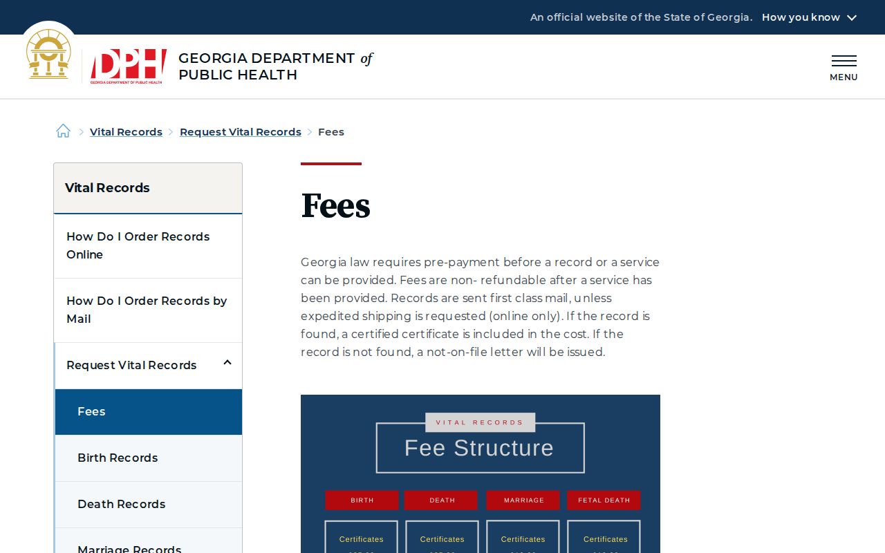
Use certificates for a lawful family or event question, never to fill gaps in a neighborhood list.
Privacy for Forsyth County Neighbors
Utility customer and delivery lists are not a general public directory. Federal law protects motor-vehicle address data. Property records normally omit renters and household ties, while safety-sensitive assessor records and protected voter addresses may be suppressed. An empty search result can reflect privacy, a non-owner resident, or a spelling difference. It should not invite a more intrusive search.
Lawful use. Research Forsyth County neighbors only for lawful civic, personal, historical, or safety purposes. Never watch, stalk, harass, threaten, or intimidate a person.
Georgia law protects redacted fields such as Social Security numbers, account data, medical or insurance information, and some officials' home contacts. Share less, not more. A parcel owner name or public association contact is enough for most block research, and a certified survey is the proper route for a boundary dispute.